This information is being shared as a prototype. The Forest Service cannot assure the reliability or suitability of this information for a particular purpose. Original data was compiled from various sources. Spatial information may not meet National Map Accuracy Standards. This information may be updated, corrected, or otherwise modified without notification. For additional information about this data, contact Erik Jackson at (907) 743-9574.
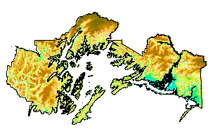 Theme Name: ELEVATION
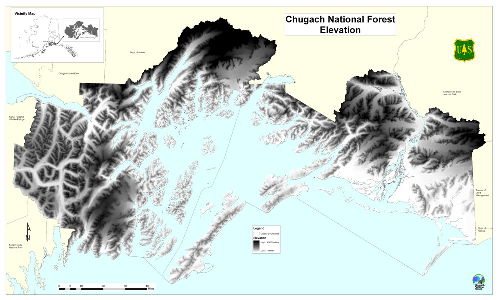