Infrastructure Notice: The Forest Service is undergoing significant infrastructure upgrades that will occur from late this week (starting July 24th) into the beginning of next week. Expect periodic outages during this time. Thank you for your patience as we continue to navigate toward new infrastructure!
Rasters are digital aerial photographs, imagery from satellites, digital pictures, or even scanned maps. The Forest Service creates raster datasets for some Forest Service projects.
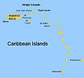
Land Cover and Forest Formations data are downloadable, and include the following: Puerto Rico and its outlying islands of Vieques, Culebra, and Mona; the U.S. and British Virgin Islands; and five islands of the Lesser Antilles: St. Kitts, Nevis, St. Eustatius, Grenada and Barbados.
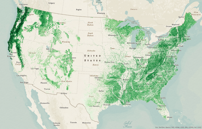
This geospatial dataset was created by the USFS Forest Inventory and Analysis (FIA) program and the Field Services and Innovation Center-Geospatial Office (FSIC-GO) to show the extent and distribution of forest biomass across the Lower 48 States and Alaska.
The Office of Sustainability and Climate supports rangelands with the tools, training, and resources they need to build resiliency into their landscapes in the face of a changing climate.
Geospatial data describing tree species or forest structure are required for many analyses and models of forest landscape dynamics. Forest data must have resolution and continuity sufficient to reflect site gradients in mountainous terrain and stand boundaries imposed by historical events, such as wildland fire and timber harvest. The TreeMap 2014 dataset (Riley et al. 2019) was the first of its kind to provide such detailed forest structure data across the forests of the conterminous United States. Prior to this imputed forest data, assessments relied largely on forest inventory at fixed plot locations at sparse densities.
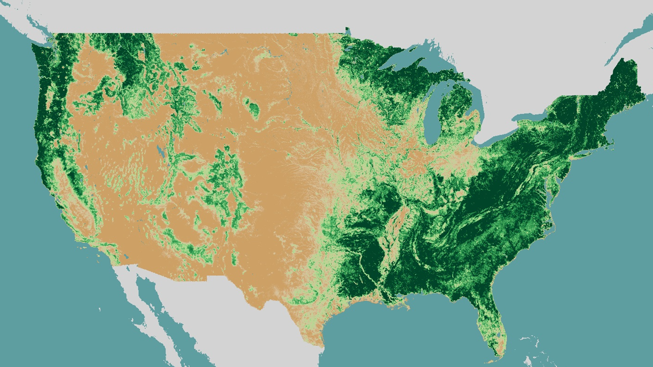
The Forest Inventory and Analysis (FIA) BIGMAP Tree Species Aboveground Forest Biomass geospatial dataset represents estimates in tons per acre for total aboveground biomass as well as that of 327 individual tree species at a 30 meter pixel spatial resolution within the extent of the coterminous United States.
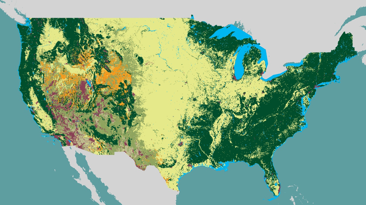
This geospatial dataset, created by the USFS Rocky Mountain Research Station (RMRS) and the Field Services and Innovation Center-Geospatial Office (FSIC-GO), consists of annual maps depicting change (vegetation gain and vegetation loss), land cover and land use from 1985 to present.
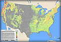
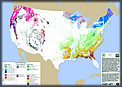
This geospatial dataset was created by the USFS Forest Inventory and Analysis (FIA) program and the Field Services and Innovation Center-Geospatial Office (FSIC-GO) to show the extent, distribution, and forest type composition of the nation's forests.
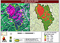
This geospatial dataset consists of annual national mosaics of post-fire vegetation measures produced under the RAVG program by the Field Services and Innovation Center-Geospatial Office (FSIC-GO). The dataset includes percent change in basal area, percent change in canopy cover, and composite burn index.
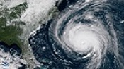
This geospatial dataset provides imagery and image-based derivative products to assist forests in analysis of damage caused by non-fire hazards. These data are created by request of forests or regions after hurricanes, tornados, landslides, derecho and other natural events.
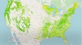
This geospatial dataset was created by the USFS Forest Inventory and Analysis (FIA) program to show tree canopy cover in the conterminous U.S. (CONUS), coastal Alaska (SEAK), Puerto Rico and the U.S. Virgin Islands (PRUSVI), and Hawaii.